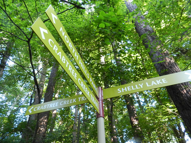
The result has been very confusing to me. For example, the signs above used to direct you to the Crabtree Valley Trail, the Alleghany Trail which is the one going the same way as the North Hills Park, and to Shelley Lake (that part is the same).
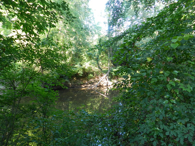
The Crabtree Creek Trail was a small section no where near where either of these signs are pointing.
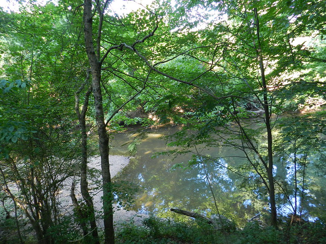
I am highly motivated to figure out the signs and trails because through the years I can't count how many people have stopped me for directions when I'm walking. I must look approachable because I doubt I look competent.
At the Optimist Park I checked the map I knew was there and it was the old trail map with the names I'm used to. I couldn't believe that new signs would have been put up with the wrong names and directions.
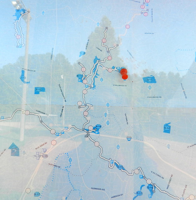
The thump tack in the map above is on the optimist park, the closest circle to the thumb tack is Shelley Lake and the trail leading down from the Lake goes to the part I was talking about at the beginning of this post. Then I got smart and looked online and below is what I found.
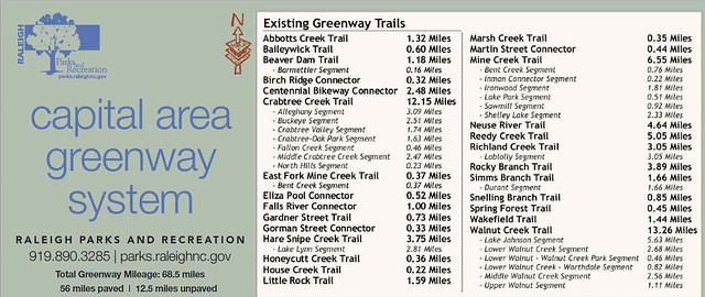
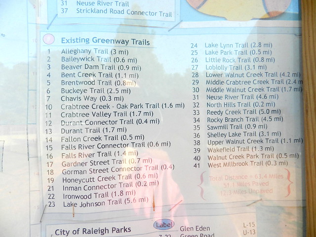
When I was on the internet at home I found that sure enough there was a new greenway map with a new naming system. The shots above and below are from the new one.
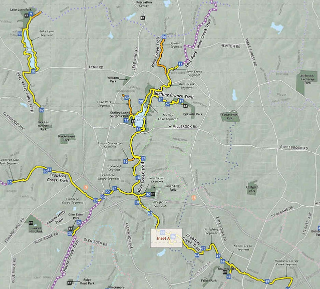
What they've done is put together a bunch of trails that connect and one of these is now all part of the Crabtree Creek trail whose length is 12.5 miles as opposed to the Crabtree Creek-Oak Park trail which was only 1.6 miles. Alleghany and Crabtree Valley Trails are listed on the new map as 2 of the many segments which now comprise the new long Crabtree Creek trail. I still think it would be nice if they would have kept the signs pointing to the segments but at least I know they aren't misnamed. I guess eventually they will change the map at the Optimist Park for the new one. This park is a few blocks from my house and is where I often end up having to help people out.
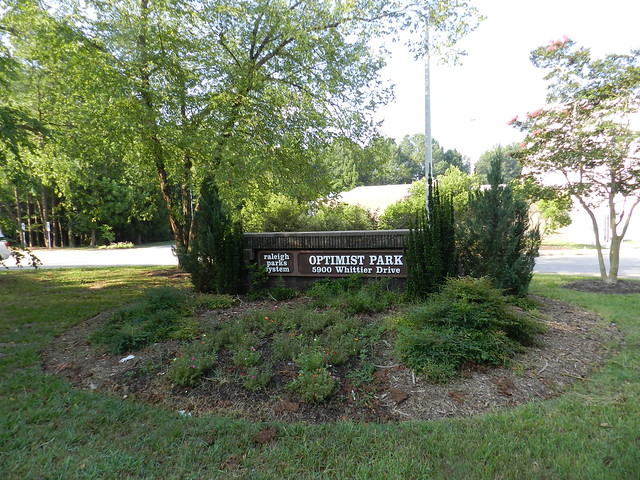
Runners will drop their children off for swim lessons at the pool or for basketball in the community center gym, or for other classes, and will have heard there are trails in the area but are having trouble figuring out how to get on them.
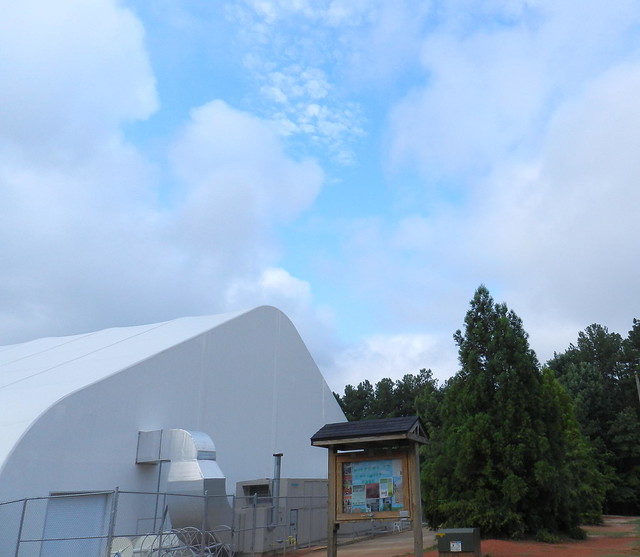
Sometimes they'll start running on what looks like a woodland path and end up at the tennis court and run back and see the box at the end of the swimming pool. If they walk around the brochure side to the other side there is a map. Of course its the old map but that's not the big issue.
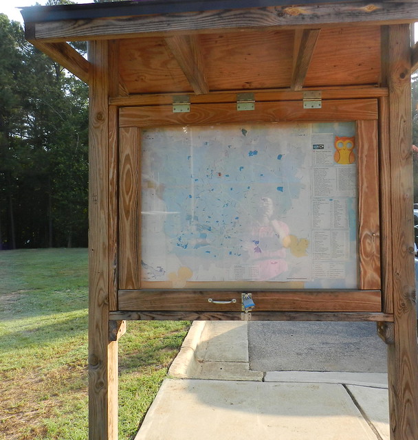
The map shows the Optimist and it looks like you get right on a trail leading to Shelley Lake.
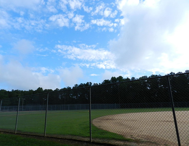
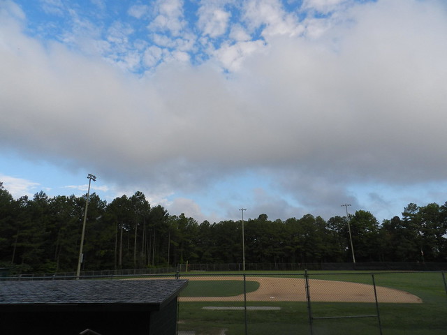
It's not that easy. You have to walk past two small ball fields one of which is shown above. After you hop over a small gulley you reach the path below. Still no signs at all directing you to the greenway or telling you that you are on it and what part of the trail you are on.
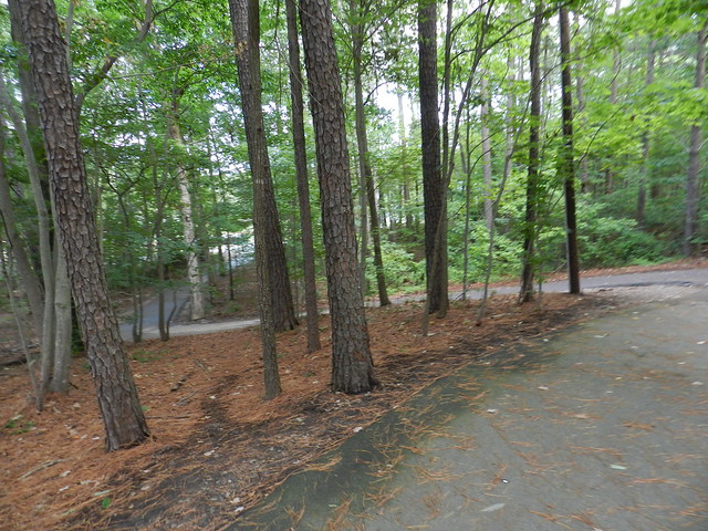
After a very brief walk on that path you reach a regulation size baseball diamond with bleachers. If you turn the wrong way you end up on the road. If you turn the right way you are on the path leading to the Shelley Lake trails but still no signs to let you know that.
I should mention that I think my city's greenway system is fantastic and if they didn't have any signs I wouldn't mind, I would assume they couldn't afford them as well as maintaining the parks and trails.
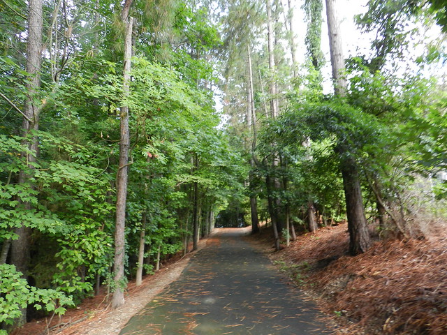
The part I have trouble with is that they have put up a bunch of new signs which are confusing in some cases and don't have signs at places that might be the most helpful.
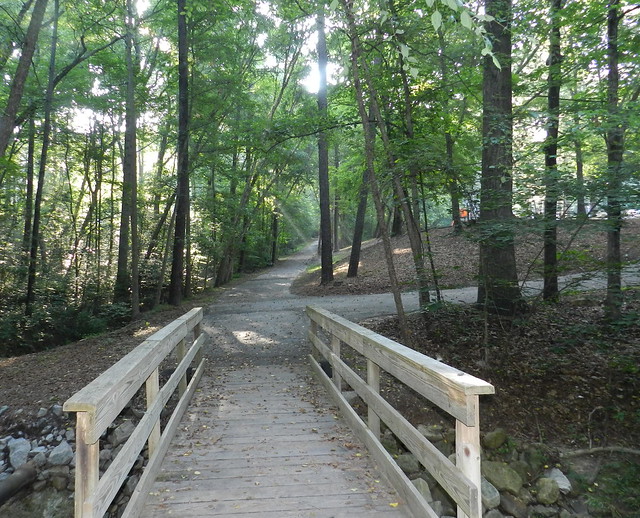
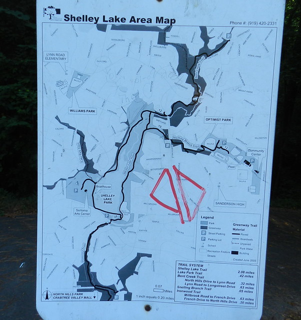
For people that find the trail leading from the Optimist to the Shelley Lake Trail, they do have a sign pointing towards Shelley Lake once they reach the end where they have to cross a street, but many give up before they get there. They jog a short way turn around and start jogging back and ask me where to go before they reach the sign below.
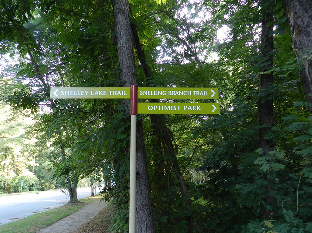
Once they cross the street there is another little map which has the Shelley Lake trails. I know it's old because the mileage for trails is different from the mileage on the new map I found online. Maybe I'll write in permanent marker and give the web site for the new map on this sign since it looks like someone else marked it up. Then again, maybe I won't risk getting arrested for being helpful since it's bound to break some law to write on signs.
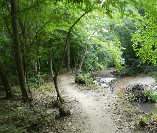
Another point of confusion is most of the dirt trails don't have signs. That would be okay if they were all part of the unpaved trails on the maps but some aren't part of the trails at all so you can walk a mile on a dirt trail thinking it's leading somewhere and then realize that isn't an "official" trail at all.
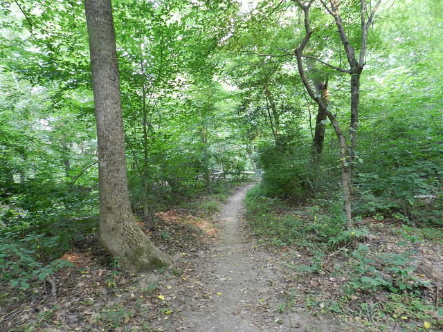
Hopefully before my city spends money on signs again, they'll call me and I'll tell them what to do. Then again my city's greenway system has been written up as a model for city's nation wide and they deserve every bit of good press they get. I don't want to sound like I'm giving them bad press because I LOVE this system of trails that now covers 68.5 miles with an expansion underway. The main reason I have an opinion is because I've become the unofficial tour guide so many times.
Click for the home of That's My World Tuesday. By the way for anyone living in Raleigh NC, you can click here for the Capital Area Greenway Trail System. Or you can look for the old heavy lady with a camera around her neck and stop me for directions. Oh what the heck, I'll make it easy for you. Below is Ms. Greenway Tour Lady, moi . . . So what is it about me? Do I look approachable? Whatever it is people surely do seem to ask me for directions a lot. I think I look kind of scary so I don't understand it, but I try to be helpful when asked.



16 comments:
I ma hopeless in directions. So I stick to where I am familiar or go with someone who does.
lol … you definitely do look approachable and more importantly smart and trustworthy! We have similar confusing paths in areas near where I am in BC. It’s easy to get lost when walking along these connecting trails that lead to different places. I love the Optimist Park name because you really do have to be an optimist to venture out with hopes of not getting confused. :)
I should hope that before a city does anything as major as that they would consult the citizens right?
I am one of those typical females that has no sense of directions at all. I get lost following the maps. GPS was made for me.
Carver would you do me another big favor and sign me up for My World? It would be late before I get home and the page is still blocked at work.
http://calrat.blogspot.com
mymillado at g mail dot com
thanks.
It is a matter of time before one gets used to such signs. Great pics.
Wonderful shots. You do stay in a beautiful place. Sign or no sign, I always have tough time.
I understand that nothing stays the same and that "progress" is important but I hope they call you for your input too. ;)
I don't think you look scary at all, Carver I can see why people would stop you for directions!
Ah, yes! That's progress for you???? And you do indeed look approachable! Such a beautiful place to get lost in just in case you can't figure out the signs and your photos are fantastic as always. I would love to spend some time trying to find my way around there!! Hope you have a great week, Carver!!
Sylvia
I'm really bad at directions! I'm sure I could even get lost in my village:o)
Thanks for sharing your lovely pics! Seems the place is very nice place to visit too!
****
Happy day****
I can get lost in a large broom closet and it doesn't look like those signs would help me at all!!!
(Guess I'm just not an Optimist ..lol!)
The story you told with this post was such fun to read, and your photos are beautiful. When I see bunches of signs together but pointing in different directions I think of Ireland and how many time I got lost. This is a gorgeous set of hiking trails. Buddy and I just go out into the mountains...only one formal trail in town. Genie
a wonderful look at your world Carver. everything looks green but it's really tough when the directions confuse you even before you get started.
Whoa! Interesting post, one could easily get lost sans directions. Lovely photographs of the pathway thru the woods.
The trails are beautiful.I too have no sense of direction, and a complicated map would only confuse me.
You look very friendly!
Love all these lush green trails!
That's quite the trail system!!!
All around in your blog beautiful outdoor-pics! LG Tina
Post a Comment